0
0
0
Hourly Forecasts
Famous Mountains
Jabal Sauda
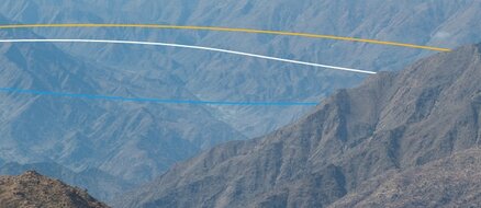
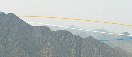
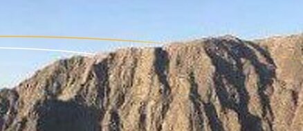
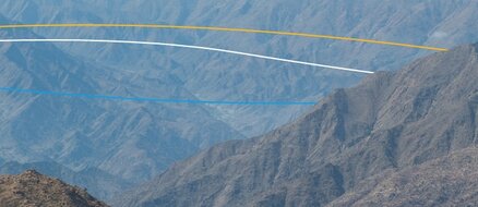
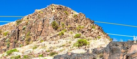
Jabal Soudah is a peak in the Soudha mountains in Saudi Arabia. It has been claimed to have elevation of 3,133 metres, and the highest point in Saudi Arabia, but in 2020 Al Arabiya an official news channel quoted a lower height of 3,015 m
Weather
-
Temperature
9°C
-0°C
-
Wind Speed
9Km/h -
Wind Direction
S -
Precipitation
0%
Aqaba Al-Jawa
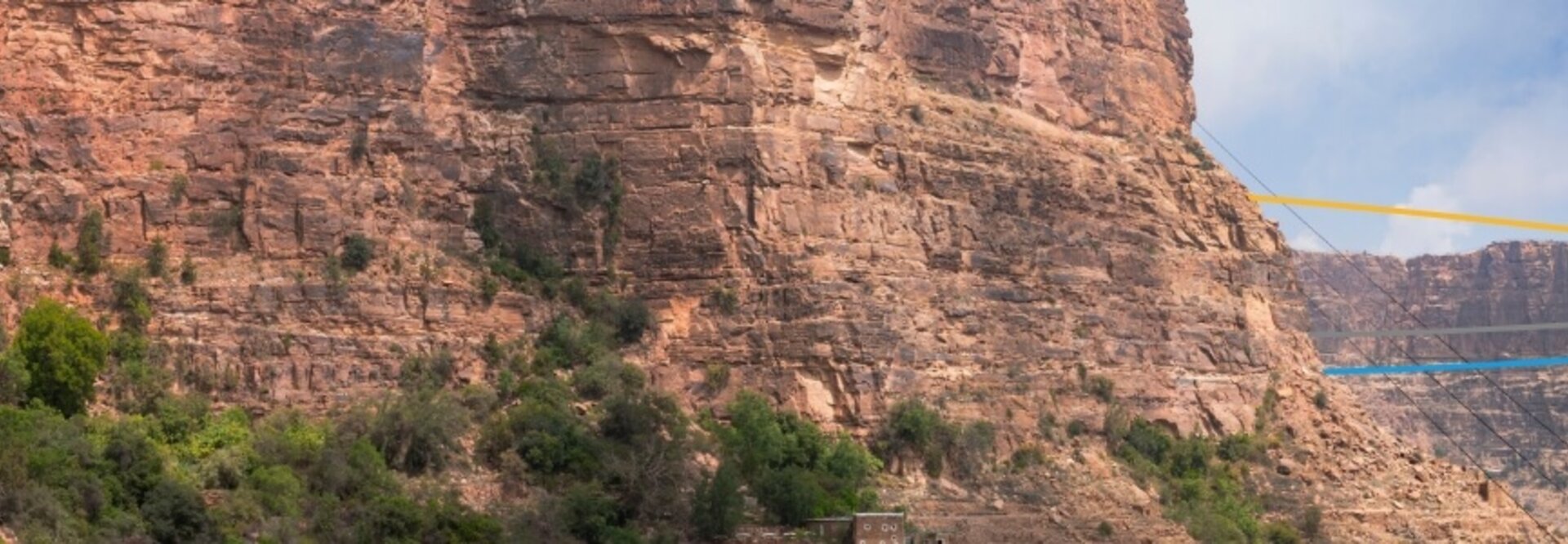
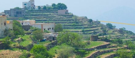
Aqabat Al-Jawh is located in the Asir region, and connects Sarat Ubaid Governorate and Al-Farsha Center with a length of 108 km.
Weather
-
Temperature
21°C
12°C
-
Wind Speed
3Km/h -
Wind Direction
SW -
Precipitation
0%
Aqaba Sinan
The Sinan Aqaba connects Al-Namas Governorate and Khat Center in the Asir region, with a length of 9.5 kilometers.
Weather
-
Temperature
25°C
17°C
-
Wind Speed
0Km/h -
Wind Direction
NW -
Precipitation
0%
Aqaba Dhila
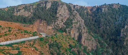
Aqabat Dhala connects the Asir and Jazan regions with a length of 11.4 km.
Weather
-
Temperature
21°C
11°C
-
Wind Speed
3Km/h -
Wind Direction
SE -
Precipitation
0%
Aqaba Sha'ar
The Shaar Aqaba connects the city of Abha and the Mahail Governorate in the Asir region, and is 14 kilometers long.
Weather
-
Temperature
22°C
11°C
-
Wind Speed
5Km/h -
Wind Direction
E -
Precipitation
0%
Jabal Al-Sawda
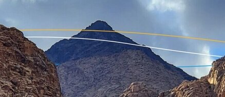
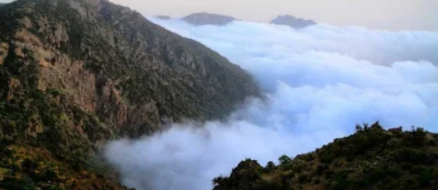
Jabal Al-Sawda is the highest peak of the Sarawat Mountains. Its height reaches more than 3000 metres. It is located in the southwestern region of the Asir region in the Kingdom, and it was named that because of the blackness of its rocks.
Weather
-
Temperature
15°C
8°C
-
Wind Speed
9Km/h -
Wind Direction
E -
Precipitation
0%
Aqaba Alqroon
The Qurun obstacle connects Al-Soudah to the villages of Rijal Almaa in the Asir region.
Weather
-
Temperature
16°C
8°C
-
Wind Speed
9Km/h -
Wind Direction
E -
Precipitation
0%
Jabal Farwaa
Mount Farawa is located in Al-Harjah Governorate in the Asir region. It is the second highest peak of the Sarawat Mountains, reaching a height of 3,004 metres.
Weather
-
Temperature
16°C
7°C
-
Wind Speed
14Km/h -
Wind Direction
E -
Precipitation
0%
Green Mountain
The Green Mountain, also known as Mount Dhara, is one of the most prominent landmarks of the city of Abha, the capital of the Asir region, and its height is 2,400 meters.
Weather
-
Temperature
20°C
10°C
-
Wind Speed
4Km/h -
Wind Direction
E -
Precipitation
0%